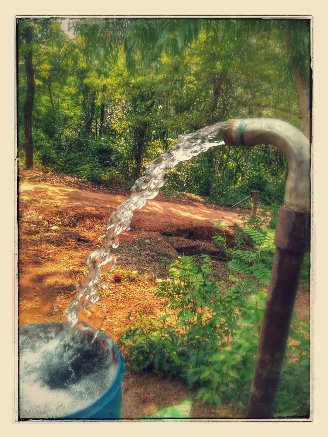
Groundwater & Hydrogeology
Investigation and assessment of subsurface water resources for extraction, development and management decisions.
- Hydrological study & surveys
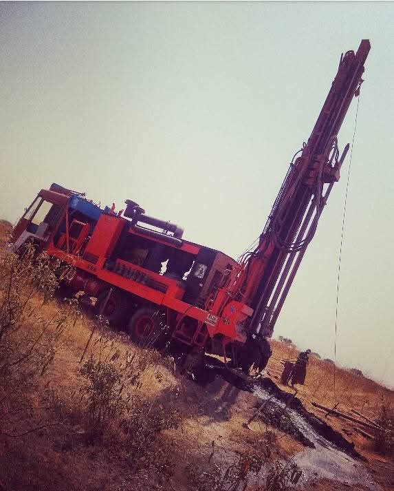
- Geophysical survey
- Pump test & aquifer analysis
- Laboratory water testing
Planet Green Consultants is a specialized firm offering geological services, hydrological exploration and GIS mapping. Registered with the State Ground Water Department of Telangana, we help organizations meet regulatory requirements while adopting sustainable water resource practices.
Through continuous improvement and global best practices, we address challenges in water engineering, climate resilience and geospatial analysis — delivering actionable insight from field survey through to report submission and authority liaison.
Four integrated practice areas covering the full groundwater and environmental compliance lifecycle
Investigation and assessment of subsurface water resources for extraction, development and management decisions.
Documentation and liaison with authorities so your project meets state groundwater and environmental regulations.
Accurate spatial data and mapping to support planning, permitting and construction across your site.
Practical water conservation and community programmes aligned with environmental goals and CSR mandates.
A closer look at the field work, studies and solutions we deliver for clients across Telangana
Assessment of water resources to support planning, permits and sustainable use.
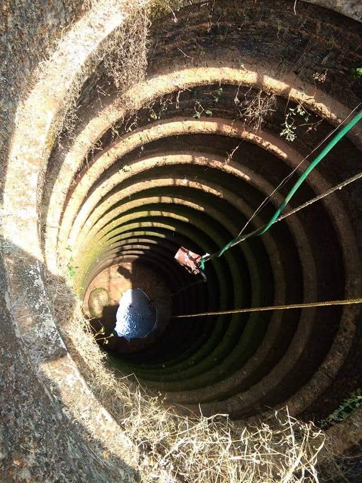
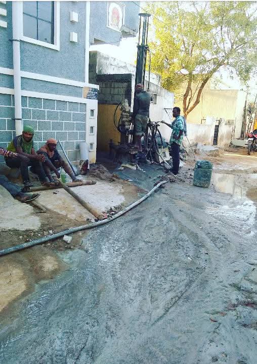
Subsurface investigation using geophysical methods to locate aquifers and structures.
Professional geospatial mapping and spatial analysis for environmental projects.
Liaison and documentation for groundwater permissions and regulatory compliance.

Water quality testing and accredited laboratory analysis for projects.
Regulatory impact reports for developments affecting groundwater systems.
Evaluation and optimization of water consumption across facilities.

Environmental CSR planning and implementation for organizations.
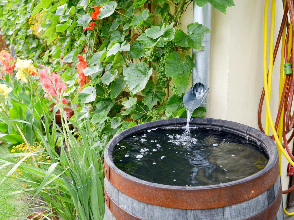
Design and implementation of rooftop and site-level RWH systems.
Trusted across Telangana
Field surveys, compliance studies and water solutions completed for clients across urban and rural Telangana

How we help clients move from survey to approval and implementation
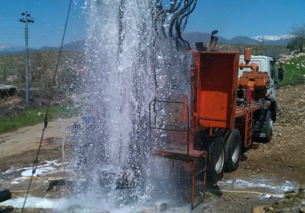
Geophysical survey
Identified viable aquifer zones and delivered report enabling compliant groundwater extraction.
NOC & compliance
Secured NOC from the State Ground Water Department for multi-tower development.
Rainwater harvesting
Reduced municipal water dependency with a fully operational RWH system across campus blocks.
CSR programme
Improved groundwater access for village communities through science-based intervention planning.
Share your project details and our team will respond within 24 business hours.